fd2s developed and implemented a wayfinding master plan for the Texas Medical Center, the world’s largest medical complex. The TMC includes dozens of member institutions occupying more than 50 million square feet of space on a densely developed site covering more than 1,300 acres.
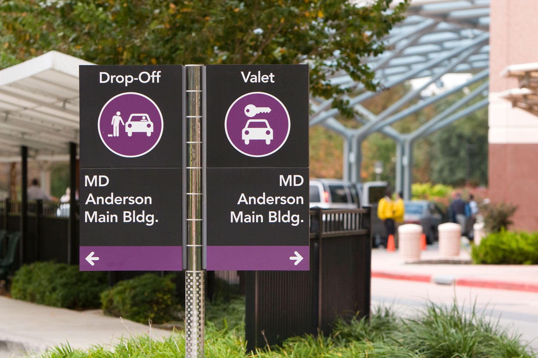
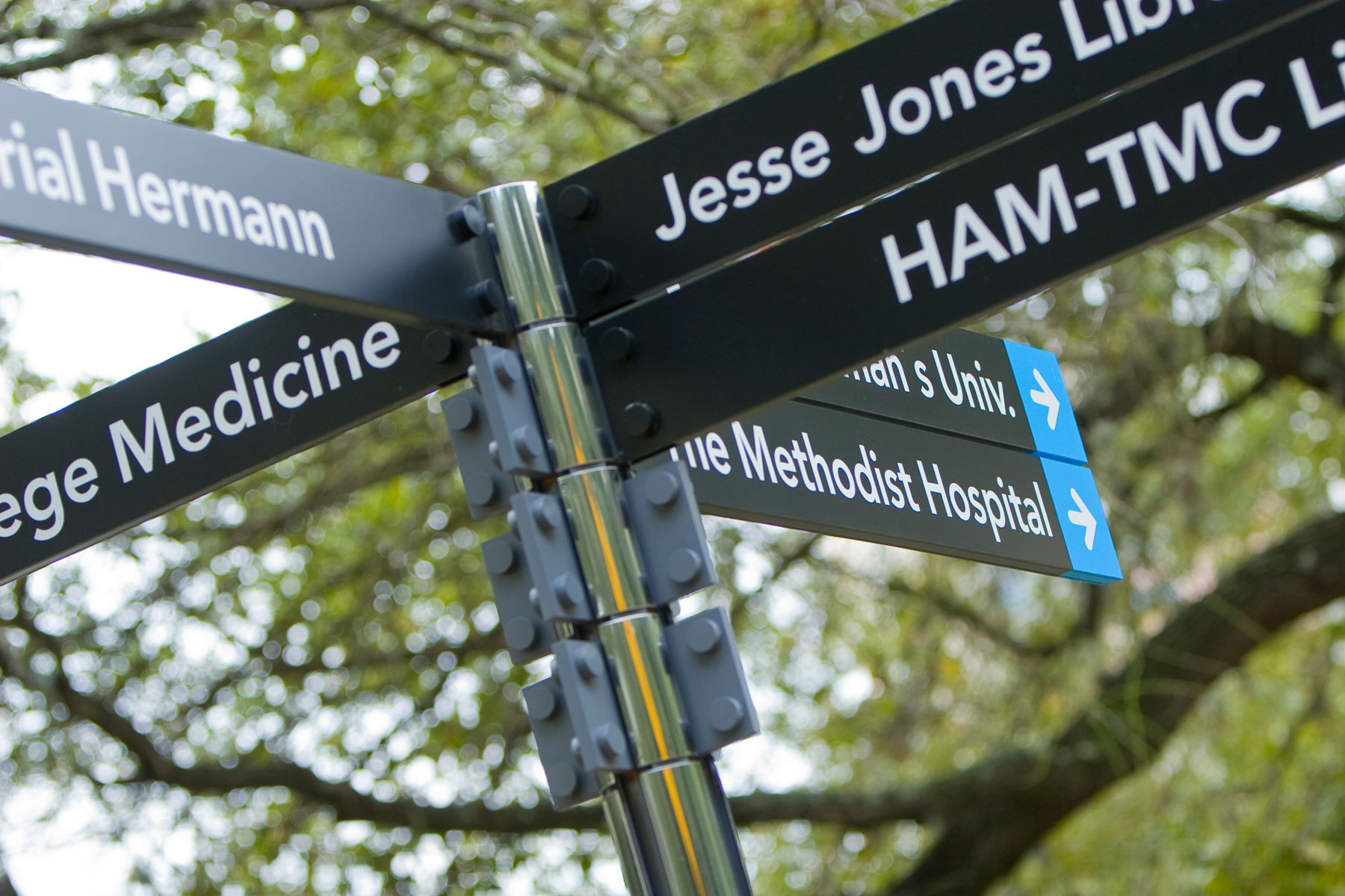
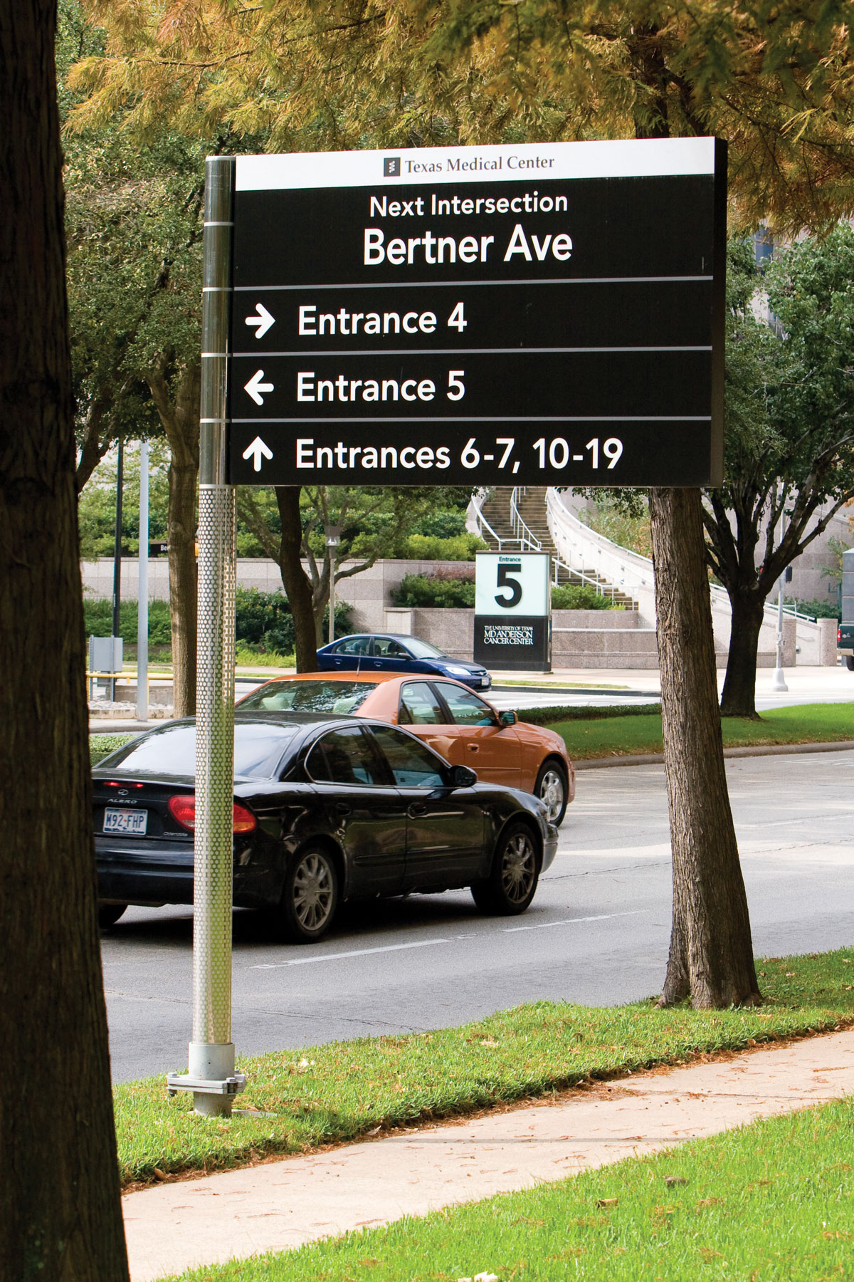
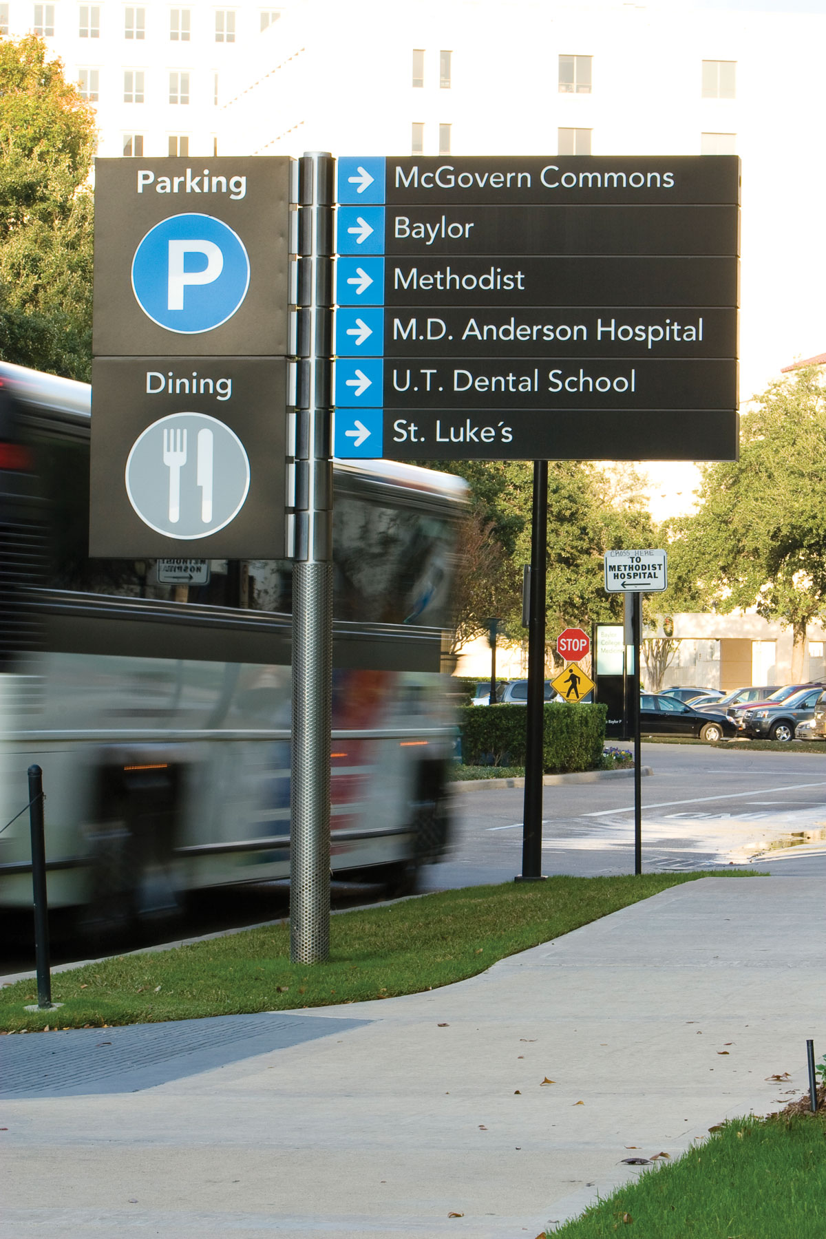
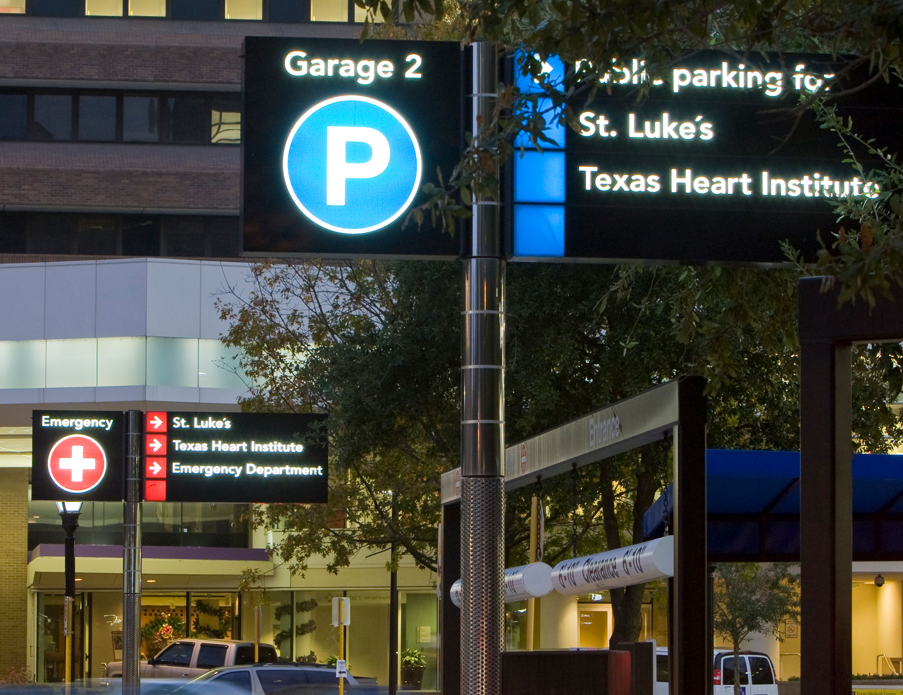
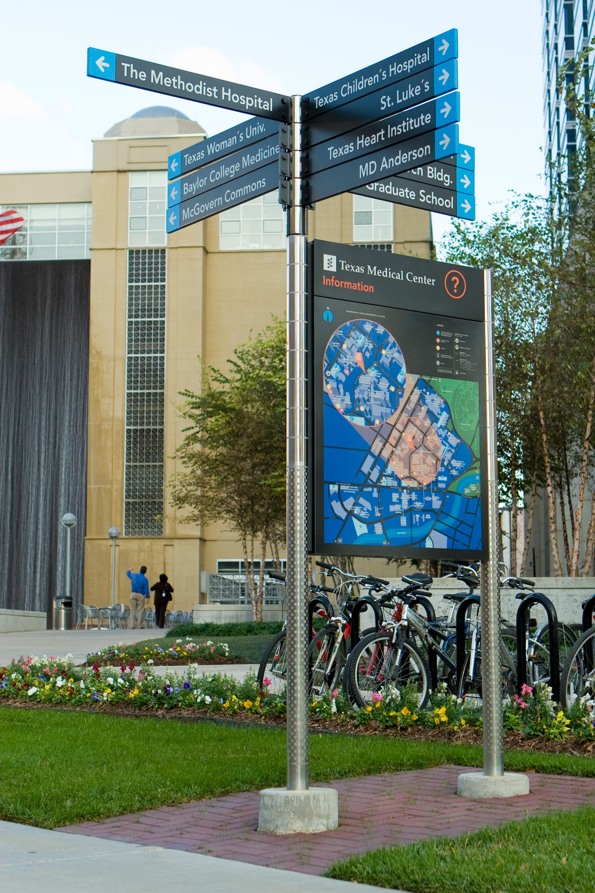
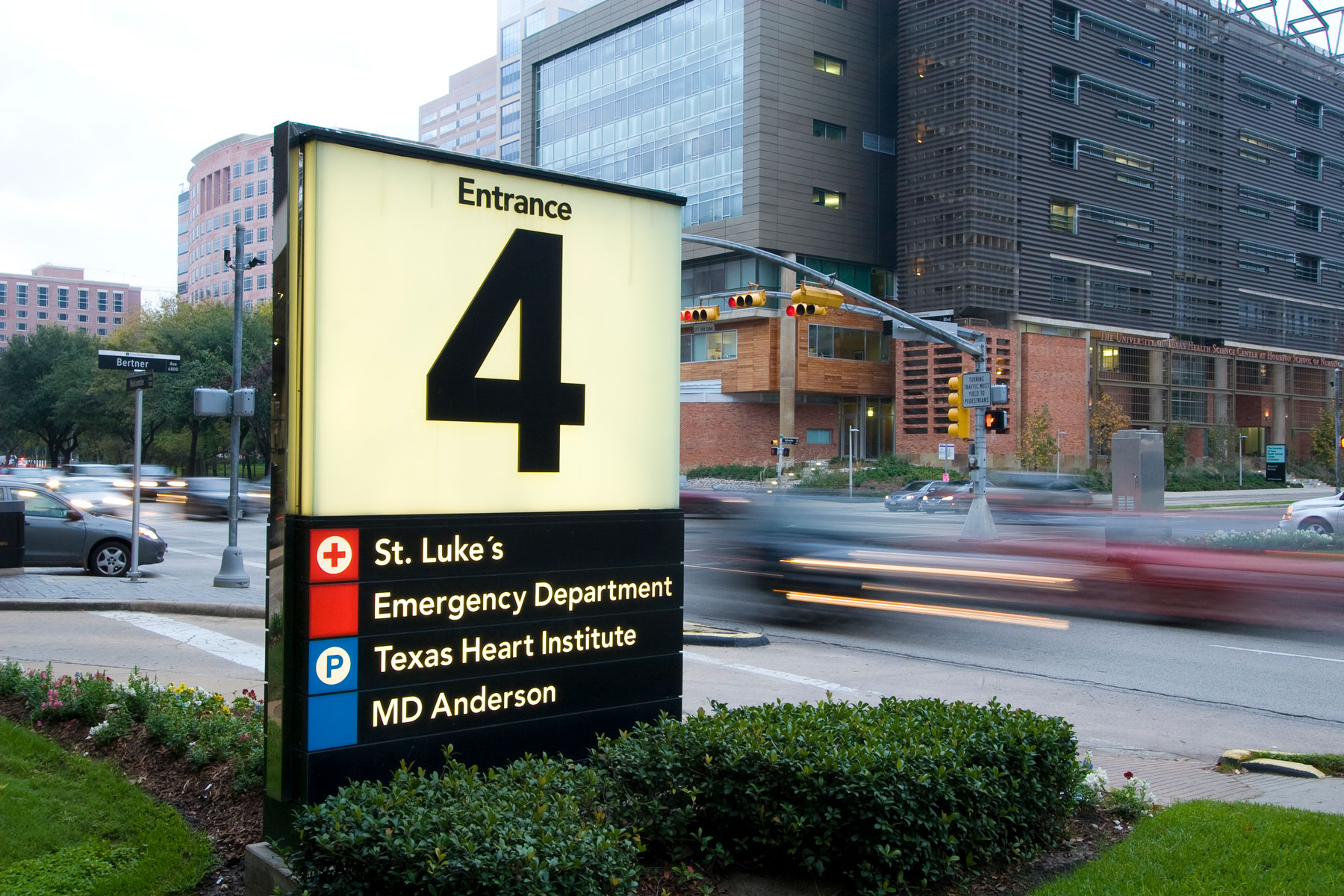
To address the daunting wayfinding challenges of this massive environment, fd2s created an underlying logic for the wayfinding system that ties individual destinations to landmarks, which take the form of large “numbered entrance” monuments. Directional elements on roadways leading to the Medical Center guide users to these landmarks, where more specific wayfinding signage then directs them to the appropriate institution entrance.
In developing the wayfinding master plan, fd2s worked very closely with TMC staff and members of the TMC Ad Hoc Committee on Wayfinding. In addition, fd2s team members also met directly with high-level representatives of TMC member institutions, gathering information about the institutions’ immediate needs and future expansion projects and generally working to build a consensus for the concepts being developed, which helped to smooth the later efforts to achieve buy-in from all stakeholders.
Following the completion and approval of the comprehensive wayfinding strategy and master plan, fd2s led the plan’s five-year, $10 million implementation. fd2s activities during the implementation period included design development for all wayfinding components, construction documentation, supervision of signage fabrication and installation, and the development of printed and interactive wayfinding tools.